QLD 7372 For Discount
- Estimated Delivery : Up to 4 business days
- Free Shipping & Returns : On all orders over $200
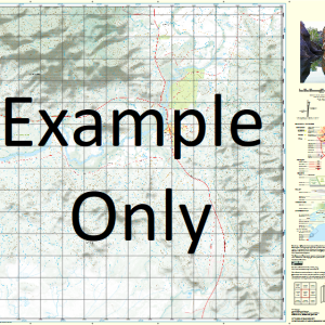
This Topographic Map is produced by the Department of Natural Resources and Mines (DNRM), part of the Queensland Government.
This product is continously updated with the latest information available. New editions are generally published in Oct Nov each year, however minor updates are constantly being included.
DNRM maps are produced automatically by computers, with minimal human oversight; so some duplication of information and occasional minor cartographic inconsistencies can be found.
The PDF version of this can be printed at home or sent to a professional printer for a 100% scale reproduction.
At this scale, 1cm on this map represents 1km on the ground. A standard map (which is square) covers an area of approximately 54km by 54km, with a contour interval of 20m. This map contains natural and constructed features including road and rail infrastructure, vegetation, hydrography, contours, localities and some administrative boundaries.
York Downs Arthur Creek Atong Creek Barkly Yard Creek Blackett Blane Brownstone Creek Bungo Creek Cox Creek Embley Fitz Lagoon Gum Creek Horse Creek Kooka Creek Kurracoo Kurracoo Creek Marmoss Creek Moonlight Creek Myall Creek Myka Creek Necktie Creek Nine Mile Creek Oorooloo Pappan Creek Romilly Running Creek Spring Creek Station Creek Stormont Sudley Vera Creek Weipa Westcote Willum Swamp York Mission River Cook Shire Yorki Creek Wallaby Creek Turkey Creek
| Title | Paper, Laminated, Pdf Download |
|---|
Related products
-
QLD 7057-32 For Sale
$12.50 -
QLD 7057-24 Online Hot Sale
$12.50 -
QLD 7057-43 Online Hot Sale
$12.50 -
QLD 7056-44 Online
$12.50 -
QLD 7057-44 Hot on Sale
$12.50