QLD 7343 For Discount
- Estimated Delivery : Up to 4 business days
- Free Shipping & Returns : On all orders over $200
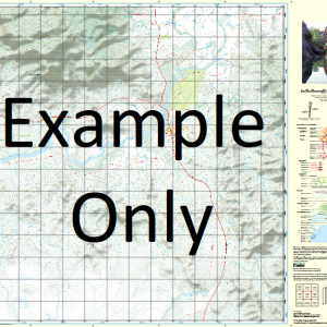
This Topographic Map is produced by the Department of Natural Resources and Mines (DNRM), part of the Queensland Government.
This product is continously updated with the latest information available. New editions are generally published in Oct Nov each year, however minor updates are constantly being included.
DNRM maps are produced automatically by computers, with minimal human oversight; so some duplication of information and occasional minor cartographic inconsistencies can be found.
The PDF version of this can be printed at home or sent to a professional printer for a 100% scale reproduction.
At this scale, 1cm on this map represents 1km on the ground. A standard map (which is square) covers an area of approximately 54km by 54km, with a contour interval of 20m. This map contains natural and constructed features including road and rail infrastructure, vegetation, hydrography, contours, localities and some administrative boundaries.
Bogala Waterhole Bogeena Creek Bycoe Creek Cairngorm Carneys Waterhole Cithara Coonyah Waterhole Didhelginna Gillaberree Waterhole Gourock Lignum Waterhole Meringhina Milkryna Creek Mookoo Waterhole Naccowlah Billabong Nilparoo Okena Creek Onkono Waterhole Tiger Waterhole Wemyss Woomanooka Woomanooka Creek Yumba Creek
| Title | Paper, Laminated, Pdf Download |
|---|
Related products
-
QLD 7057-31 For Sale
$12.50 -
QLD 7057-12 Sale
$12.50 -
QLD 7057-32 For Sale
$12.50 -
QLD 7057-14 Discount
$12.50 -
QLD 7057-43 Online Hot Sale
$12.50