QLD 7345 For Cheap
- Estimated Delivery : Up to 4 business days
- Free Shipping & Returns : On all orders over $200
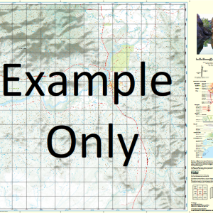
This Topographic Map is produced by the Department of Natural Resources and Mines (DNRM), part of the Queensland Government.
This product is continously updated with the latest information available. New editions are generally published in Oct Nov each year, however minor updates are constantly being included.
DNRM maps are produced automatically by computers, with minimal human oversight; so some duplication of information and occasional minor cartographic inconsistencies can be found.
The PDF version of this can be printed at home or sent to a professional printer for a 100% scale reproduction.
At this scale, 1cm on this map represents 1km on the ground. A standard map (which is square) covers an area of approximately 54km by 54km, with a contour interval of 20m. This map contains natural and constructed features including road and rail infrastructure, vegetation, hydrography, contours, localities and some administrative boundaries.
Alivinna Alkina Amah Belilla Brumby Creek Brumby Waterhole Burleway Waterhole Burnt Coat Channels Cockawarra Creek Cockawarra Waterhole Compinia Waterhole Curralle Eighteen Mile Creek Fountain Creek Goonaghooheeny Billabong Hackett Creek Hudsons Waterhole Lajah Malagarga Marama Quimmarroo Waterhole Romerah Sandy Creek Snake Creek Spring Creek Ten Mile Creek Three Mile Creek Tobacco Waterhole Twanginna Wombunderry Channel Marama Outstation Malargarga Curralle Creek
| Title | Paper, Laminated, Pdf Download |
|---|
Related products
-
QLD 7057-12 Sale
$12.50 -
QLD 7057-34 For Sale
$12.50 -
QLD 7057-31 For Sale
$12.50 -
QLD 7057-41 Sale
$12.50 -
QLD 7057-21 For Discount
$12.50