QLD 7361-2 Online Sale
- Estimated Delivery : Up to 4 business days
- Free Shipping & Returns : On all orders over $200
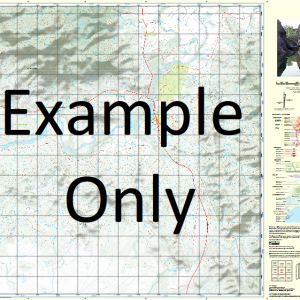
This Topographic Map is produced by the Department of Natural Resources and Mines (DNRM), part of the Queensland Government.
This product is continously updated with the latest information available. New editions are generally published in Oct Nov each year, however minor updates are constantly being included.
DNRM maps are produced automatically by computers, with minimal human oversight; so some duplication of information and occasional minor cartographic inconsistencies can be found.
The PDF version of this can be printed at home or sent to a professional printer for a 100% scale reproduction.
At this scale, 2cm on this map represents 1km on the ground. A standard map (which is square) covers an area of approximately about 25km by 25km, with a contour interval of 10m. This map contains natural and constructed features including road and rail infrastructure, vegetation, hydrography, contours, localities and some administrative boundaries.
Alehvale Alluvial Springs Basket Creek Black Blackbutt Springs Bucket Springs Coffin Hill Creek Democrat Creek Flannigans Gap Garden Creek Gregory Range Grenners Creek Gumholes Lagoon Laycock Creek Leslie Springs Lily Lagoon McEvoy Creek Poley Nob Poley Nob Creek Richmond Hill Waterhole Sawmill Surrey Hills Ten Mile Creek Tunnel Hill Wilkies Hill Plumtree Creek Flanagan Springs Black Springs Mistake Creek Gum Holes Lagoon Templeton Rocky Creek
| Title | Paper, Laminated, Pdf Download |
|---|
Related products
-
QLD 7057-34 For Sale
$12.50 -
QLD 7056-23 Online Sale
$12.50 -
QLD 7057-33 For Discount
$12.50 -
QLD 7057-43 Online Hot Sale
$12.50 -
QLD 7057-14 Discount
$12.50