QLD 7362 Online Hot Sale
- Estimated Delivery : Up to 4 business days
- Free Shipping & Returns : On all orders over $200
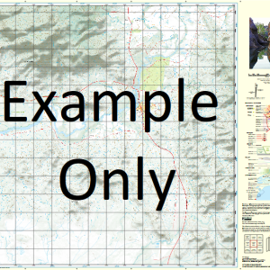
This Topographic Map is produced by the Department of Natural Resources and Mines (DNRM), part of the Queensland Government.
This product is continously updated with the latest information available. New editions are generally published in Oct Nov each year, however minor updates are constantly being included.
DNRM maps are produced automatically by computers, with minimal human oversight; so some duplication of information and occasional minor cartographic inconsistencies can be found.
The PDF version of this can be printed at home or sent to a professional printer for a 100% scale reproduction.
At this scale, 1cm on this map represents 1km on the ground. A standard map (which is square) covers an area of approximately 54km by 54km, with a contour interval of 20m. This map contains natural and constructed features including road and rail infrastructure, vegetation, hydrography, contours, localities and some administrative boundaries.
Old Miranda Homestead Banstead Barraba Blue Lagoon Bobby Towns Lagoons Bulldog Creek Christmas Creek Einasleigh River Ewell Flodden Gilded Rose Waterhole Horley Jena Lingfield Near Carron River Nundle Oswald Pundurk Sawmill Creek Scrubby Creek Tabletop Creek Telephone Creek The Lake Two Mile Waterhole Wallabadah Bobby Towns Lagoon Blackfellow Creek Bobby Towns Hut Blue Lagoon Yards Nellys Hut Guttapercha Creek Twelve Mile Hut Dingo Hut Oakland Park Oakland Round Hole Hut
| Title | Paper, Laminated, Pdf Download |
|---|
Related products
-
QLD 7057-21 For Discount
$12.50 -
QLD 7056-23 Online Sale
$12.50 -
QLD 7056-43 For Cheap
$12.50 -
QLD 7057-11 Online Sale
$12.50 -
QLD 7056-21 For Sale
$12.50